
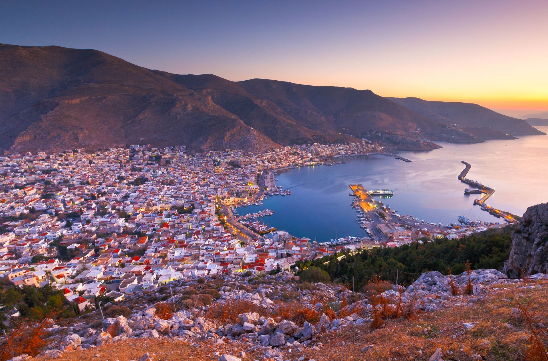





The Decentralised Administration of the Aegean has redrawn the public foreshore boundary along parts of Blefouti on Leros. The two decisions appear in Greek Government Gazette issues dated 23 October 2026 and 3 November 2026.
The decisions, published in Series D issues 932/2026 and 964/2026, update boundaries originally set in 2009 and 1993 respectively.
The first decision revises part of the 2009 boundary. The second replaces the 1993 boundary with a line plotted using 51 points on a survey map.
What changes at the foreshore
The reviews followed applications from private individuals. The committee considered the survey data, the shape of the coastline and changes to the rules governing how the foreshore is defined.
The committee cited Law 5092/2024, which ended the application of older Dodecanese Land Registry rules to foreshore boundaries, including the extra strip extending 12 metres from the line reached by the highest winter waves.
The committee also considered the physical shape of the coast and the need for a more precise boundary. The 1993 survey relied on older methods and on markers on the ground that are no longer there.
Under the decision in issue 964/2026, no separate landward beach boundary is set. The committee found that the existing width of the foreshore was sufficient for access between land and sea.
Unauthorised structures recorded
The committee reported that unauthorised and illegal structures stood at the foreshore boundary in the area it examined.
The changes help determine the extent of the public coastal strip and may affect properties near the sections covered by the decisions.
The survey maps accompanying the decisions show the precise boundaries. Redrawing the lines does not automatically legalise existing structures. Any conclusion about ownership rights for a particular property still depends on the relevant records.
The two decisions and their survey maps are available in the Greek Government Gazette: